See remote areas of the world with Google Street View
Many people use Google Maps when they need directions to somewhere new. Yet, directions is only a small part of Google Maps.
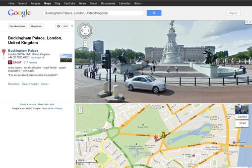
Using Google's Street View, you can virtually walk down the street in many cities around the world. It's a great way to see what your hotel looks like, figure out how to get there from the nearest transit stop, and pick a nearby restaurant to eat… all before leaving home.
Google is expanding beyond the major cities and towns in the world to more remote locations. It recently started filming the streets of Cambridge Bay, Nunavut. This is the most northern place that Google has taken Street View. Since it was too costly to ship up the Google Street View car, the street view photos were taken from the camera mounted on a tricycle!
While the street view images are not online yet, you can read some articles about the project:
- Google maps Nunavut hamlet by tricycle from the CBC.
- Google puts Canada’s North on the map from the Toronto Star
- Google Street View uses tricycles to put Nunavut on its map by the Globe and Mail
The world's oceans are another remote location that many of us will never see in person. Working with Catlin Seaview Survey, Google is brings panoramic images of the world's reefs, including the Great Barrier Reef, to your computer.
Have a look at the other Collections for other panoramic images, such as Antarctica, the Amazon, and the UNESCO World Heritage sites, to name a few, available through Street View.
 To learn more about Google Maps, have a look at Using Google Maps and Google Earth e-book and e-video available through our Safari Tech Books Online collection. You will need your library card to access them.
One thought on “See remote areas of the world with Google Street View”
So cool!!